


Breaking News
 Rand Paul voted to merge the United States military with Israels.
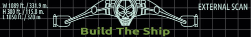
 GeoJourney 11| Inside the Build: Stage Four Begins
 Car Mechanics Are Quitting Everywhere - Nobody Wants These Jobs in 2026
 Eight babies born after Mitochondrial donation (This. Is. Not. Good.)
Top Tech News
 Chinese researchers have developed a sodium-metal battery that can fully charge in just 4 minutes...
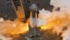 SpaceX Starship Flight 13 in 3 Days - Thursday July 13
 Chinese Scientists Develop Nuclear Battery Using Carbon-14
 Teleoperated humanoid robots complete first-ever live surgery
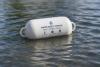 Floating capsule auto-disinfects water without chemicals or battery
 Modular Reactors To Solve Data Center Hysteria?
 DeepSeek Developing In-House AI Chip In Bid To Cut Nvidia Reliance
 America just took three brand-new nuclear reactors critical in thirty days, a first for any...
 Your brain doesn't peak in your 20s after all: Study reveals your mind is at its sharpest betwee
 Compasses, not maps: China is building a different type of AI


Relics of 'lost continents' hidden under Antarctica are revealed-
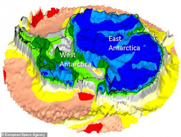
Images reveal a timeline of the ancient landmasses buried beneath Antarctica
They were taken by the long-dead Gravity field and Ocean Circulation Explorer
The ESA satellite collected data on Earth's gravitational pull
The European Space Agency (ESA) has uncovered relics of lost continents that have hidden under Antarctica for millions of years.
Satellite images reveal a timeline of the ancient landmasses buried a mile (1.6 km) beneath the icy continent.
Scientists said the snaps shed new light on Antarctica, the 'least understood continent on Earth'.
They used data from the long-dead Gravity field and Ocean Circulation Explorer (GOCE), which plummeted into Earth after it ran out of fuel in 2013.
While the satellite has been out of action for five years, scientists are still pouring over reams of data it collected on Earth's gravitational pull.